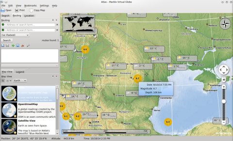
Marble is a 3D virtual globe application which features various map views, Internet services integration for geographical and meteorological data, satellite views, routes suggestions, plugins.
Marble comes included by default in the KDE environment, in the KDE Education package.
By default, there are 10 different map view modes in Marble, each showing specific information, however, tens more can be downloaded and installed.
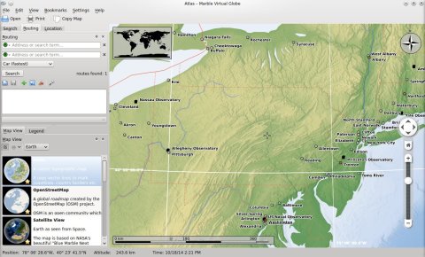
Atlas
This is a classic topographic map which uses vector lines to mark borders and bitmaps to create the relief.
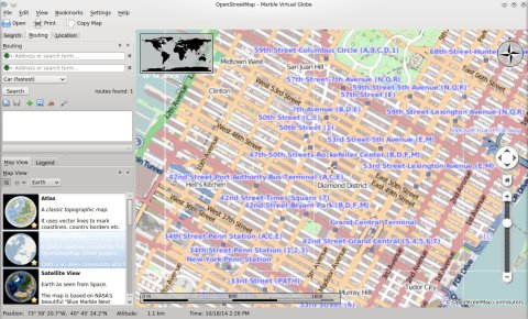
OpenStreetMap
A global roadmap view created by the OpenStreetMap project.
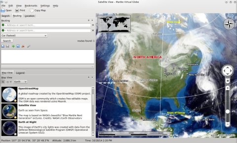
Sattelite View
A map of the Earth as seen from space.
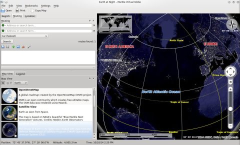
Earth at Night
This is a view of Earth at night.
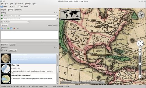
Historical Map 1689
A historical map of the Earth.
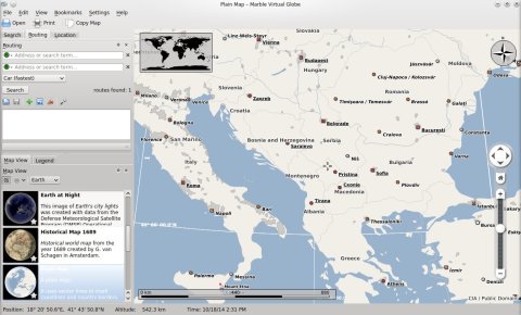
Plain Map
Uses vectors for contours.
Precipitation (December)
A global map of average precipitation in December.
Precipitation (July)
A global map of average precipitation in July.
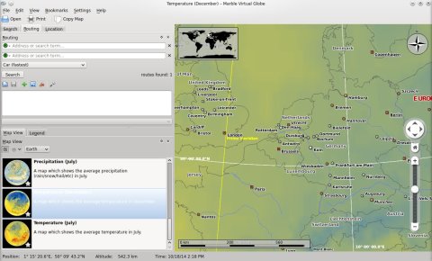
Temperature (December)
Average temperature in December.
Temperature (July)
Average temperature in July.
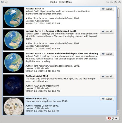
Downloading more map views from File->Download Maps:
Marble will display the coordinates of the current position and altitude.
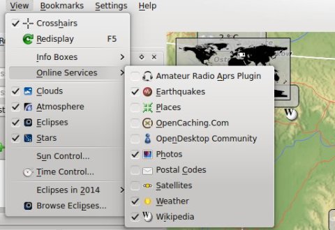
One of the nice features it has is integration with various services, for example you can choose to see the location of Earthquakes, Wikipedia information for map places, weather reports and so on.
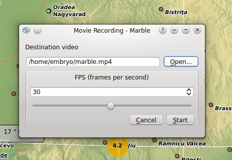
Another feature of Marble is the ability to record as MP4, with the ability to change the number of frames per second. Once you’re done, stop the recording from Edit->Stop Recording.
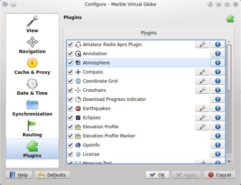
Configuration
The configuration dialogue allows you to change the default measurement units, image quality, enable or disable plugins:
Having KDE (thus Zeitgeist, Geoclue, and other spyware) on my system gives no benefit over having google on my system. Why replace a turd with a turd?
What do Zeitgeist and Geoclue have to do with KDE? Exactly: nothing. BTW Zeitgeist is Gnome. What kind of spyware do you mean apart from that?
yarble
Did you just have a bowl of turds for breakfast? Because you sure sound like you did.
rjb
Dear Craciun Dan, at work I’m using marble, satellite view, in a gnome ubuntu 16.04 workstation
Q1:
How can I obtain the Earth refreshed image without any thing else than a pure satellite view as in my home openSUSE laptop ? I want no cities, nor any parallels and meridiens, nothing else than alone the earth and clouds
Q2:
at work, the clouds satellite view even with a very short refresh timing, is completely false. WORST : When zooming, the successive images are all different !!


